
Hunmanby Walking Route 3 Hunmanby Railway Station to Filey Railway Station via Hunmanby Gap Beach
Map of Hunmanby Railway Station to Filey Railway Station via Hunmanby Gap Beach. The numbers show the miles from Hunmanby Railway Station.
This link to the Map o Meter page for the Hunmanby Railway Station to Filey Railway Station via Hunmanby Gap Beach will show the map in full size, calories burnt, and gradient profile.

This route starts at the village railway station, it gives the option of returning by train, or choosing one of the other walking routes back to Hunmanby to make a longer circular walk.
In the information racks on the Scarborough Platform (Number 2) there are leaflets for the Hunmanby in Bloom flower trail and the Hunmanby History Group 'Heritage trail'. Both have maps and describe the history of the village and location of the flower beds and open spaces maintained by the village community.
Turning left out of the station the new signs installed by Scarborough Borough Council point the way out of the village along Bridlington Road towards the Industrial Estate. Climb the hill past the early industrial history of Hunmanby. The sign pointing to 'Fishing' is the fishing lake formed in the old clay pits.
Walk past the tyre factory and at the new road that forms the modern Industrial Estate Access Road turn left. This ends with a barrier, go round, on your left is Hunmanby Crown Green Bowling Club, to your right Hunmanby Playing Fields Association Club House. On reaching Sands Lane turn right. The Piebald Inn opposite was formerly the Railway Tavern and opposite the old North Eastern Railway Coal Yard. It is now a mile walk along Sands Lane with the Playing Fields to your right. As you approach the busy A165 coast road, take the track that leads to Moor House, just before the entrance gate turn right and take what was the course of the old Sands Lane to the A165. (This avoids walking around the busy roundabout) Once across the road, follow the course of the old Sands Lane.
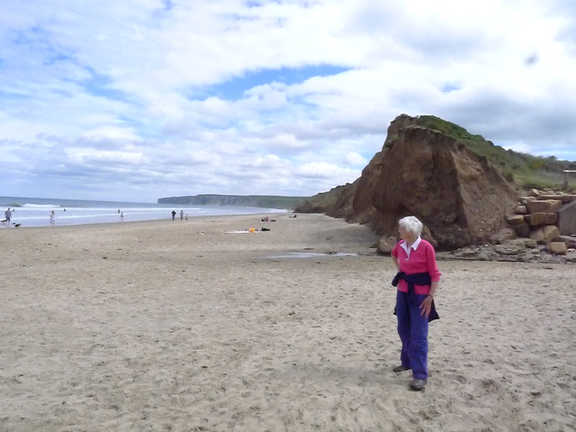
After a couple of minutes, the path emerges on the single track road that leads to Hunmanby Gap. It is now just under a mile to the beach, but a steep decent down to Hunmanby Gap Cafe, well worth the reasonably priced coffee, and home-made cake. Then follow the zig-zag footpath down onto the beach. Check the tide to ensure you can walk to Filey, it is just over 2 miles away.
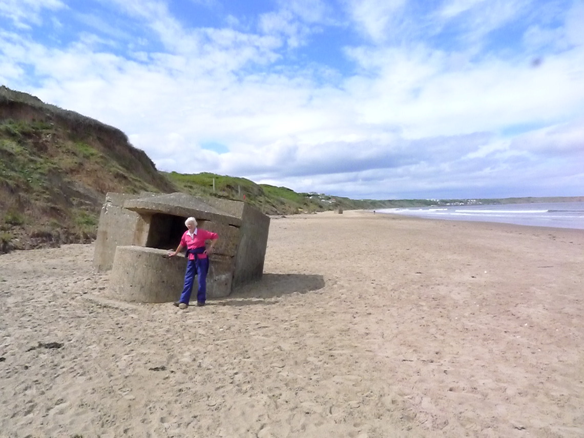
Photo above: The Beach at Hunmanby Gap, and one of several relics from World War II that ended up on the beach due to coastal erosion.
When you reach Filey (Martin's Ravine) there are toilets and cafes and takeaways on the sea front. The public open spaces in Filey are well maintained by Scarborough Borough Council, Filey in Bloom and Friends of Filey Parks. Further details from Filey in Bloom Facebook page and Friends of Filey Parks Facebook Page The walk passes the band stand, full details of concerts from Filey Town Council Band Stand Webpage. Then walk around the rear of the Evron Centre and up Murray Street, Station Avenue, past the bus station with public toilets and up Station Approach to the Grade II* listed Filey railway station. Further details of the history of the station from the Wikipedia Filey Railway Station webpage
This link gives you details of current train departures from Northern Rail at Filey railway station. So giving the option of walking back to Hunmanby by a different route or catching the train to Hunmanby from Platform 1 (this platform has the ticket machine as Filey station is unstaffed.
Updated 20th October 2021