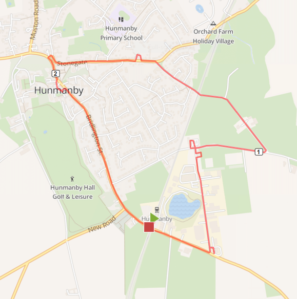
Photo above: Hunmanby Walking route 1, Circular Walk, Real Ale Boundary Trail Map, the numbers show 1st and 2nd mile.
This link to map o meter for the Hunmanby Real Ale Boundary Trail Map it will show the map in full size, calories burnt, and gradient profile.
Before starting the walk, it is first worth picking up both the Hunmanby History Groups, ‘Heritage Trail’ and Hunmanby in Bloom ‘Flower Trail; free leaflets from the Information rack at the entrance to the Scarborough Station Platform. This will help you get the most out of the walk and both include a village street map! (You can always drop them back in the rack on your return.)
Hunmanby is an easy station to navigate, 2 platforms, the exits lead to the main road. The signs in front of you, kindly installed by Paul from Scarborough Borough Council point the way. The Bridlington Street sign points the way to the village centre. The Bridlington Road sign to the Industrial Estate. The description is ‘anti clockwise’ so head up Bridlington Road, the birthplace of Industrial Hunmanby. The old clay pit to the left is now the Fishing Lake. Walk past the Tyre Depot and take the first proper road on the left. This leads into the Industrial Estate. ‘Spirit of Yorkshire Distillery’ is the first Unit on the right.
It is the only Whisky Distillery in Yorkshire and well worth a visit to the Pot Still Café, and the view over the Distillery. This is a £2 million investment to produce the first Whisky in Yorkshire, from local sources. Why not have a full day in Hunmanby village and book the Distillery Tour. There is a special offer for visitors arriving by train. A great way to start off the real ale trail? Morning Coffee, Distillery Tour and then a circuit of the village hostelries.
Full details of the local public houses are on the Real Ale Trail Hunmanby Boundary Walk webpage
Leaving the Spirit of Yorkshire Distillery, turn right down the Industrial Estate Road, at the barrier at the bottom, continue past the Hunmanby Playing Fields Association Club House. At the junction with Sands Lane turn right.
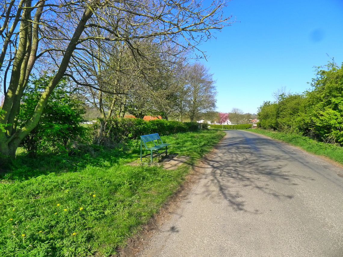
Photo above: a view of Sands Lane in Spring 2020
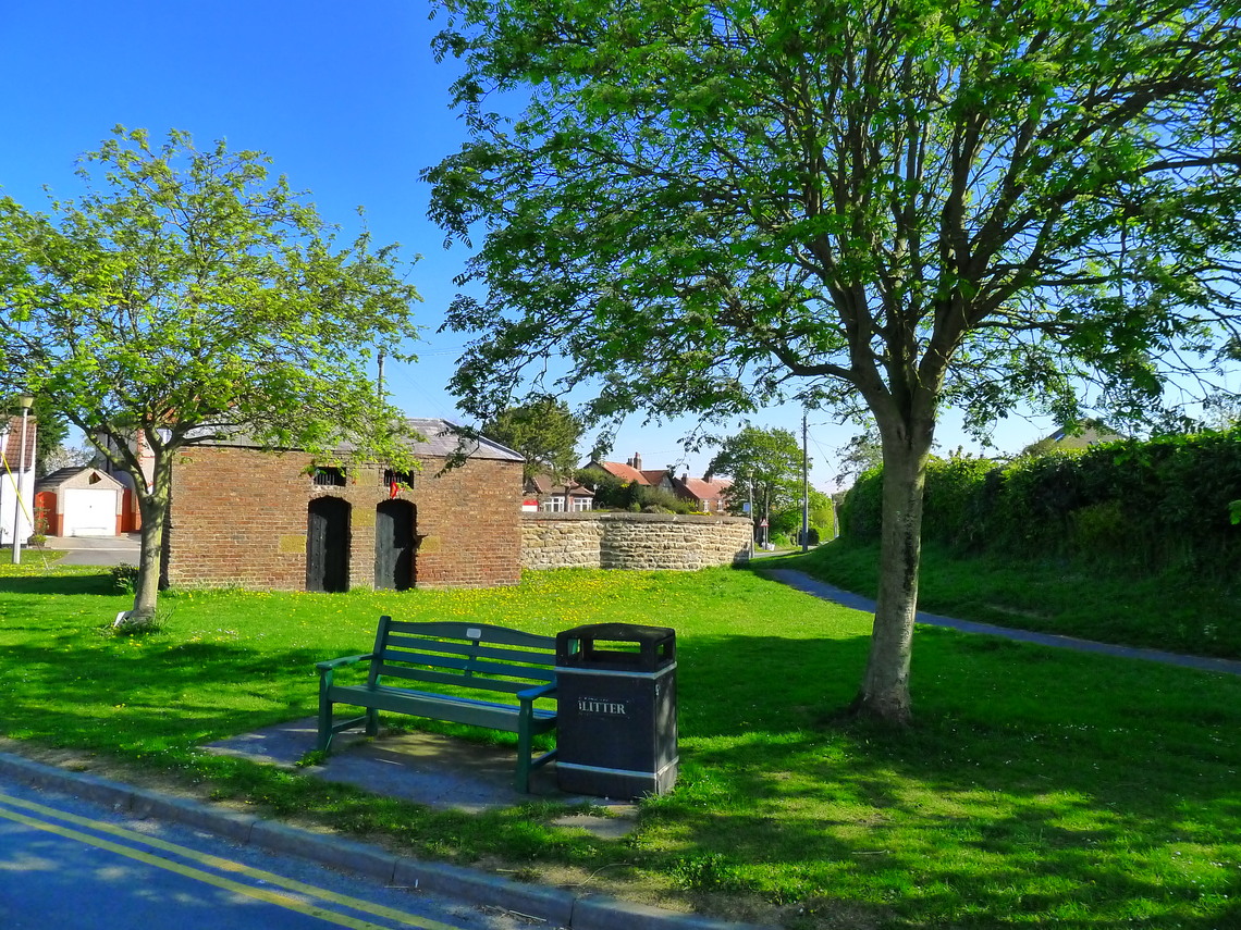
Walking along Sands Lane, the Playing Field are on your right, with grazing land to your left, usually sheep. Take the first turning on your left, Sheep Dyke Lane. There are a couple of benches on the roadside on both lanes. Go under the railway bridge and straight on, climbing a short rise. This is where the Sheep were dipped, walk past Low Hall, and at the road junction with Stonegate, take a photo of the Pinfold, restored by Hunmanby Parish Council.
Photo above: The Pinfold and Lock Up at the junction of Sheepdyke Lane and Stonegate
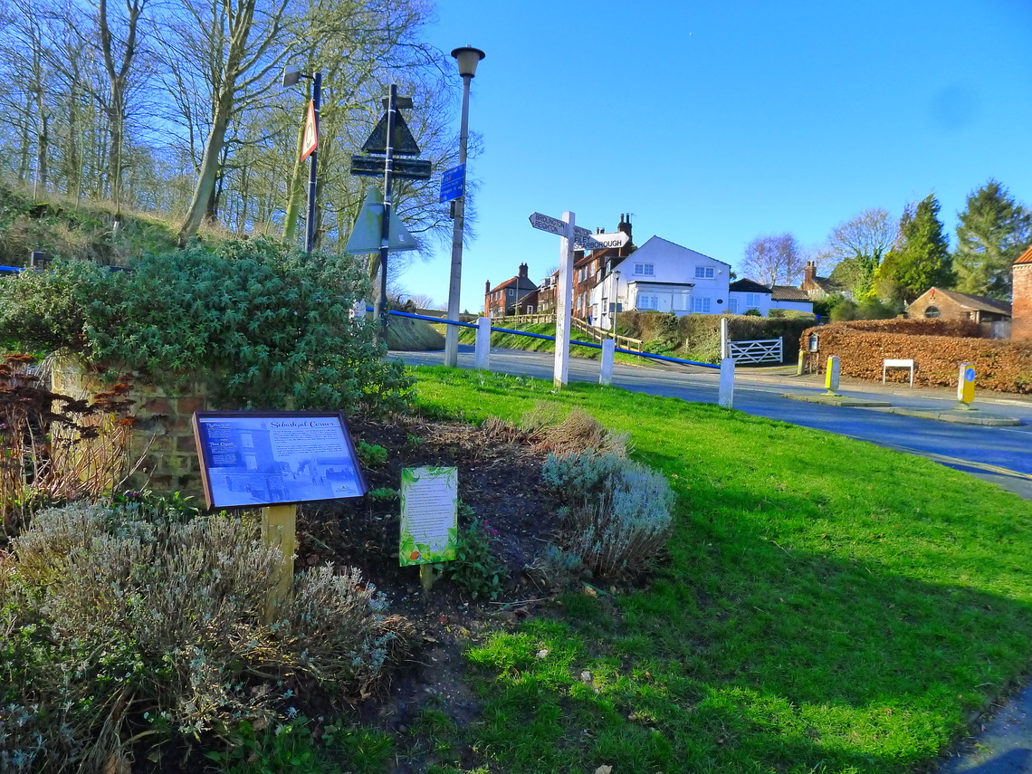
At Stonegate turn left, continue straight up Stonegate, many of the older properties were small farms, several you can still see at the gable end the outline of the former chalk-built building. At the top of Stonegate, this was the site of the Norman Motte and Bailey.
Photo above: The Sabastopol Corner, flower bed, finger post, and trees in the background are the remains of the Motte & Bailey built by the Normans.
Turn left down Church Hill, past the old phone box (still working) and alongside All Saints Church.
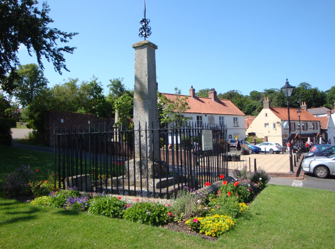
Photo above: The Market Cross on Cross Hill
Take time to walk into Cross Hill, set back from Bridlington Street, the main shopping street in Hunmanby. This gives time to view the War Memorial, Market Cross and flower beds looked after by Hunmanby in Bloom. Directly opposite The Cottage Inn is Bayley Gardens, an open space, beautifully maintained by Bailey Gardens Committee. Further details from the Community Facility in Hunmanby webpage.
Then, continue along Bridlington Street where most of the village shops are located. It is then a straight walk along Bridlington Street back to the station. Bridlington Street was created by the Lord of the Manor who both influenced where the railway was built and diverted the right of way off his land. The little road, Garton Lane you pass on your right was formerly the route into the Yorkshire Wolds. It was replaced by New Road. The steep hill by the side of Gods Acre that later in the walk.
Photo Above: The Folly on Bridlington Street
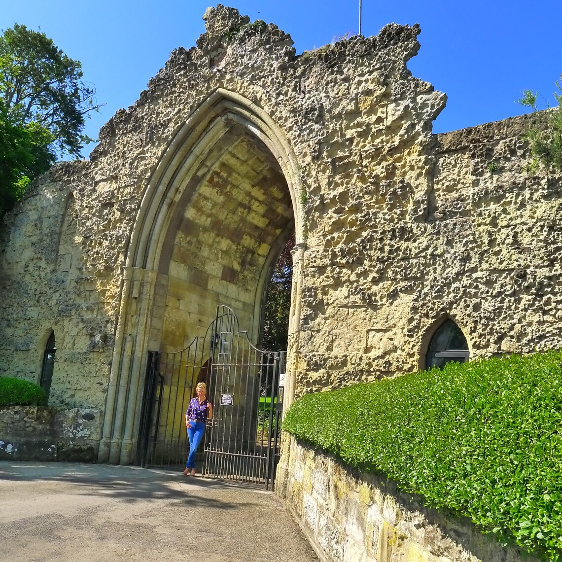
As the houses thin out along Bridlington Street, the walk passes, a relic from when there was a Lord of the Manor. This is ‘Hunmanby Folly’ it has now been converted into an unusual place to stay along with ‘posh pods’.' The Hall, still standing is now apartments, having spent time in the last century as a Methodist Girls Boarding School.
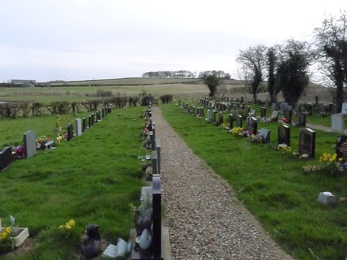
The wide steep road on the right is New Road. This was built by the Lord of the Manor to enable the old route along Garton Lane to be closed, and keep the traveller of the land around Hunmanby Hall. Next to it is Gods Acre a graveyard looked after by the community and bequeathed by the Lord of the Manor. The God Acre web page gives more information about the history of this unique graveyard.
Photo above Gods Acre, looking toward Croom Acre Plantation, marked on shipping charts as a navigation aid.
A couple of minutes later the walk ends back at Hunmanby Railway Station.
Updated 20.10.2021
