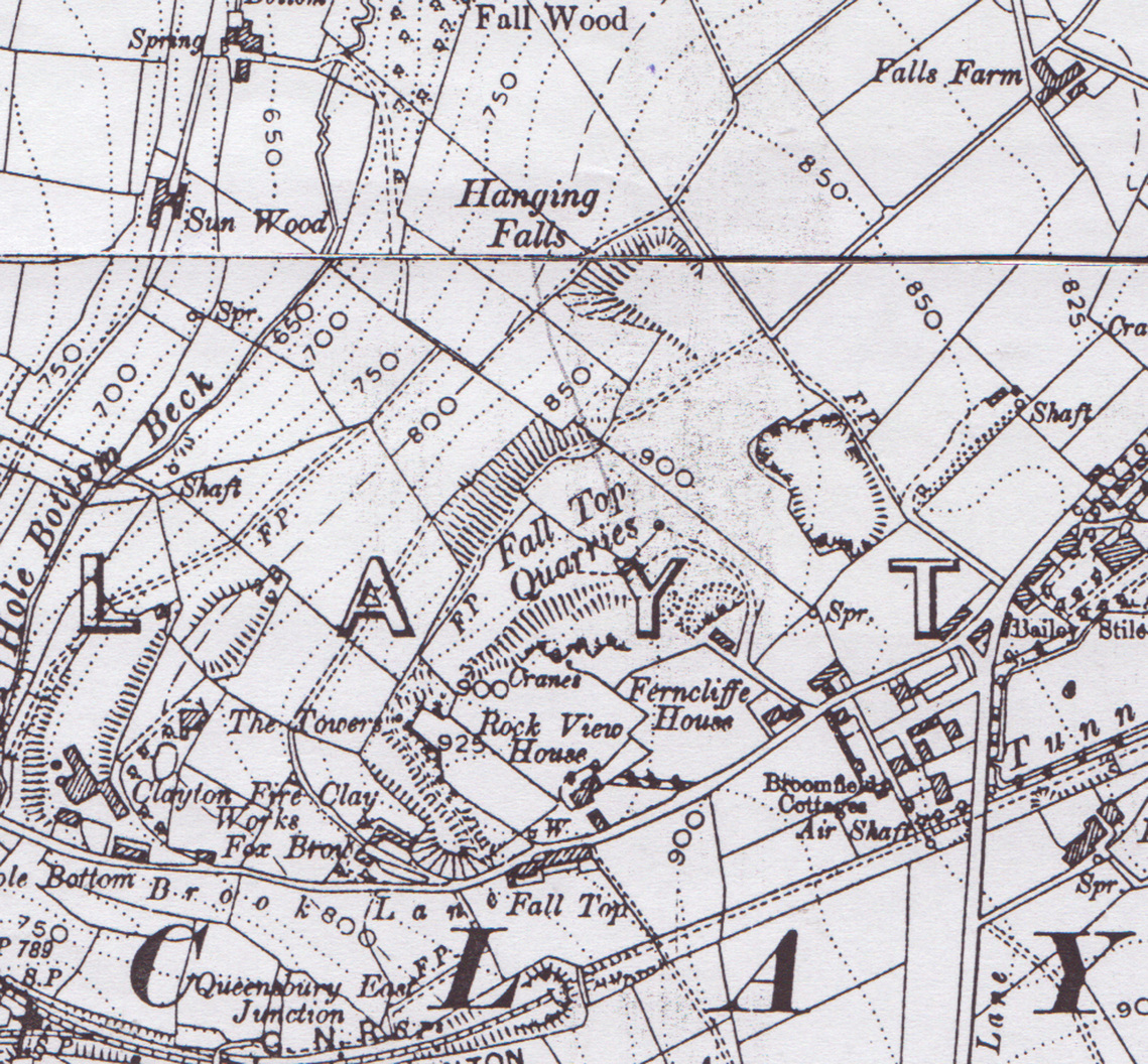
Fall Top Quarries c 1960
|
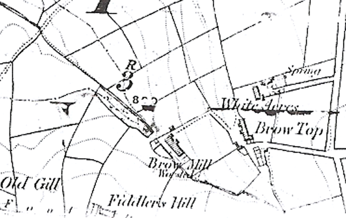
Brow Mill c 1870
|
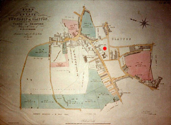
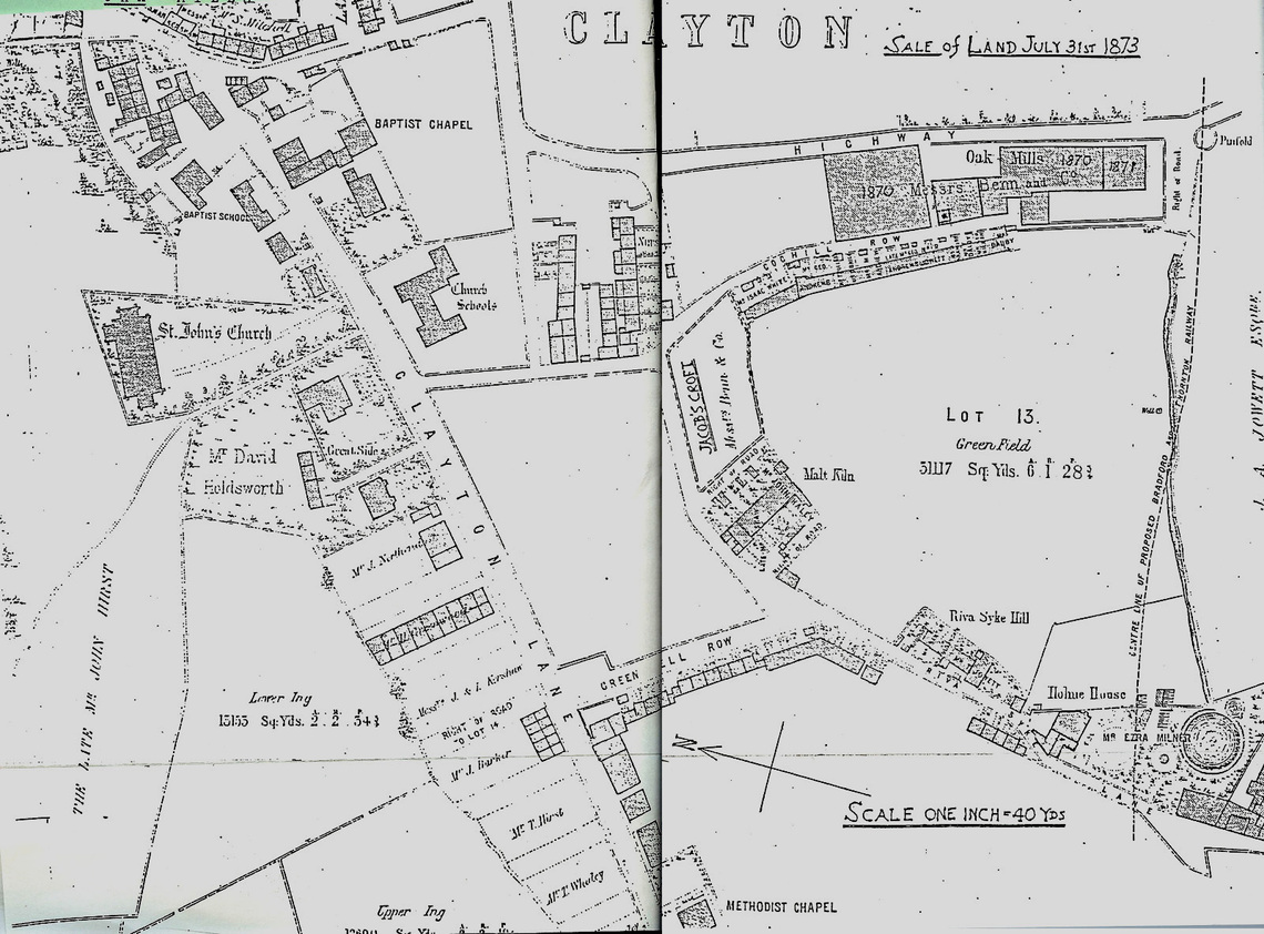
Map of Clayton 1873
|
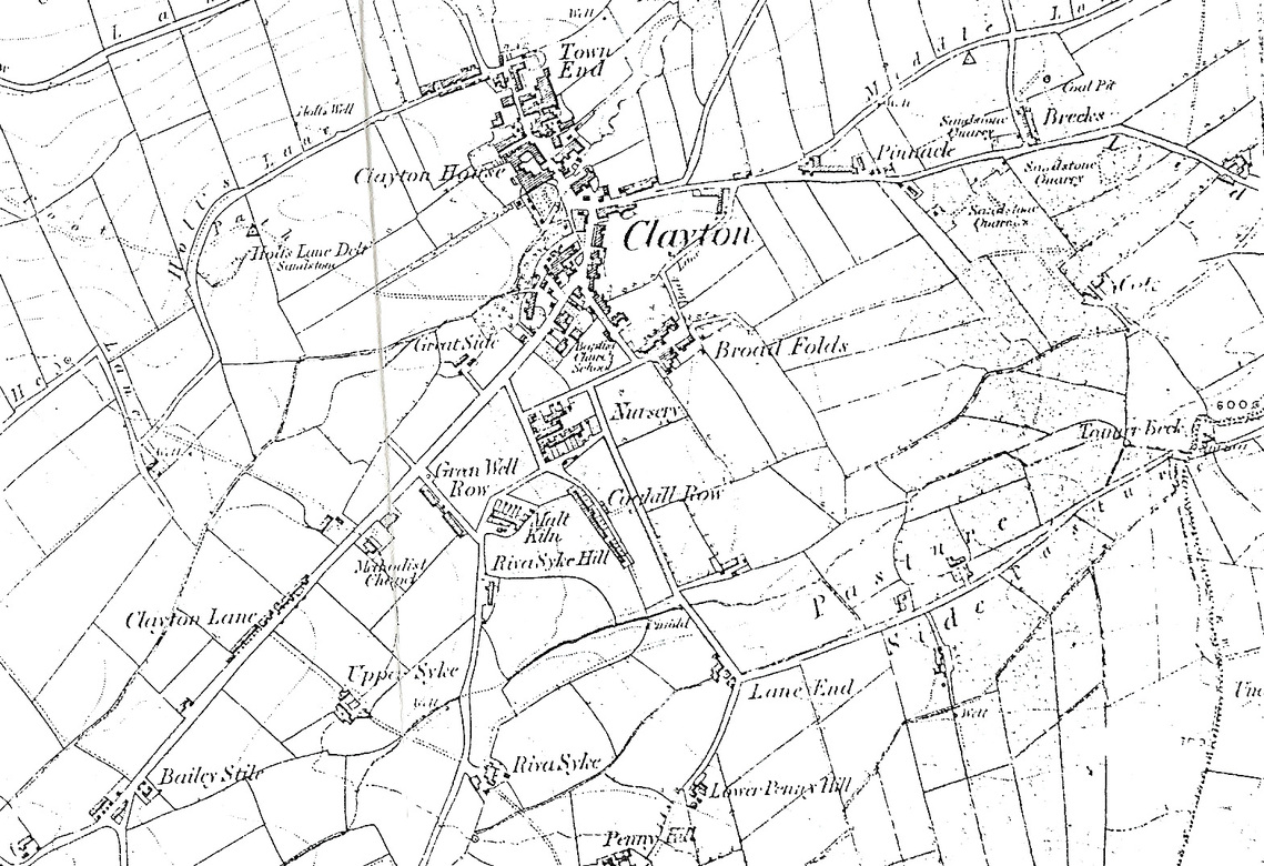
Clayton c1875
|
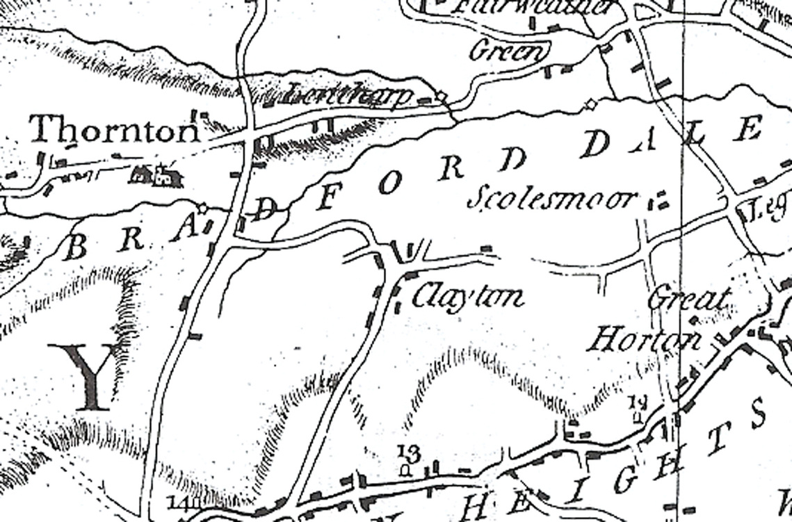
Clayton and Surrounding Area c1840
|
Clayton and Surrounding Area 1771
|
Clayton c1860
|
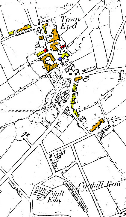
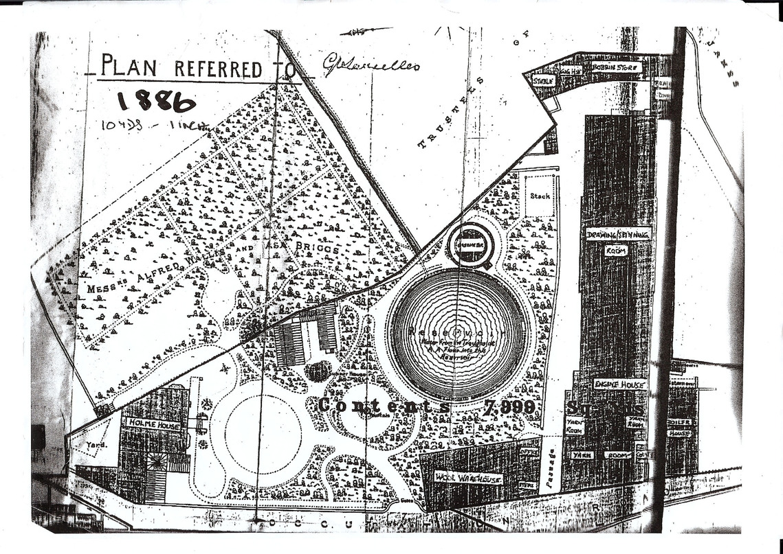
Holme House Garden c 1886
|
Fall Top Quarries c 1960
|
Brow Mill c 1870
|
Map of Clayton 1873
|
Clayton c1875
|
Clayton and Surrounding Area c1840
|
Clayton and Surrounding Area 1771
|
Clayton c1860
|
Holme House Garden c 1886
|