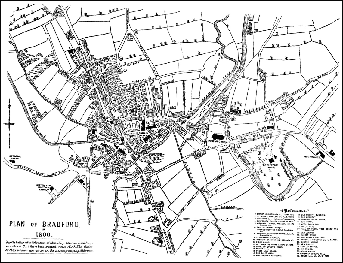
Map of Bradford c 1800
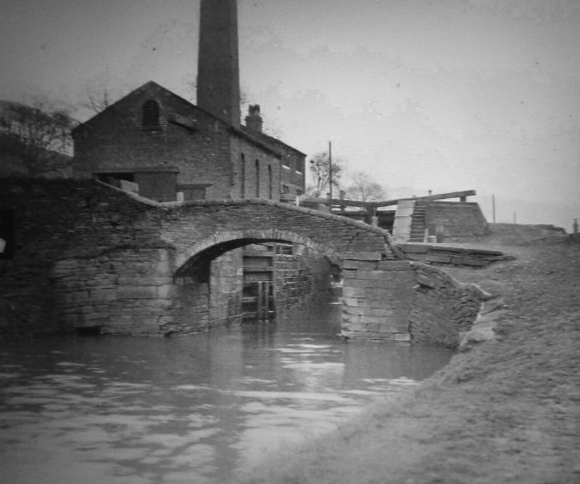
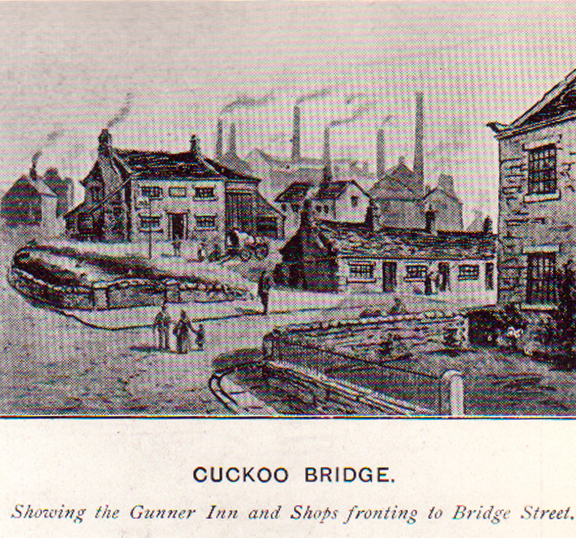
Bradford Canal c1875
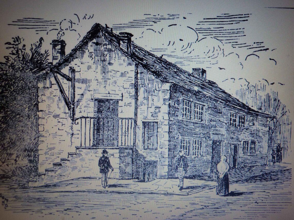
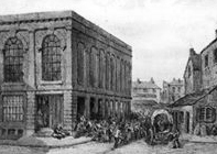
The Cockpit c1830
Horsefair Bridge c1850
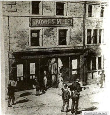
Brown Muffs c 1840
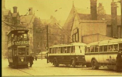
New Inn with tram and single deck trolley buses c 1935
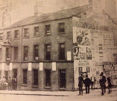
Talbot Hotel c1880
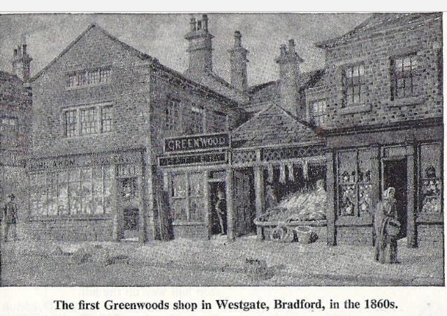
First Greenwoods Shop c1860
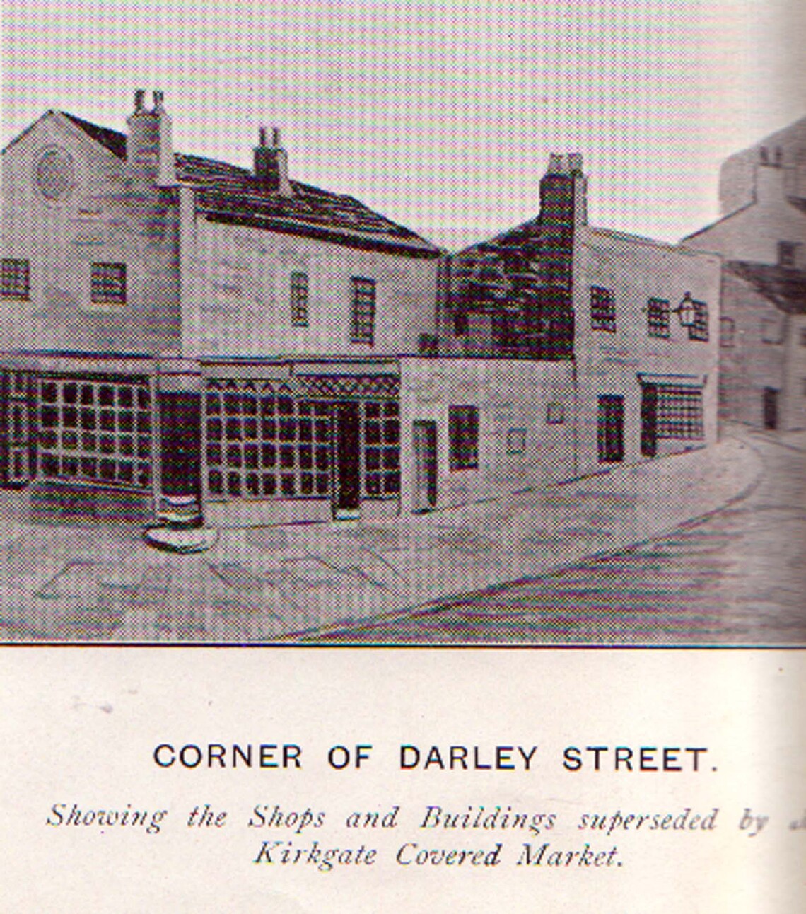
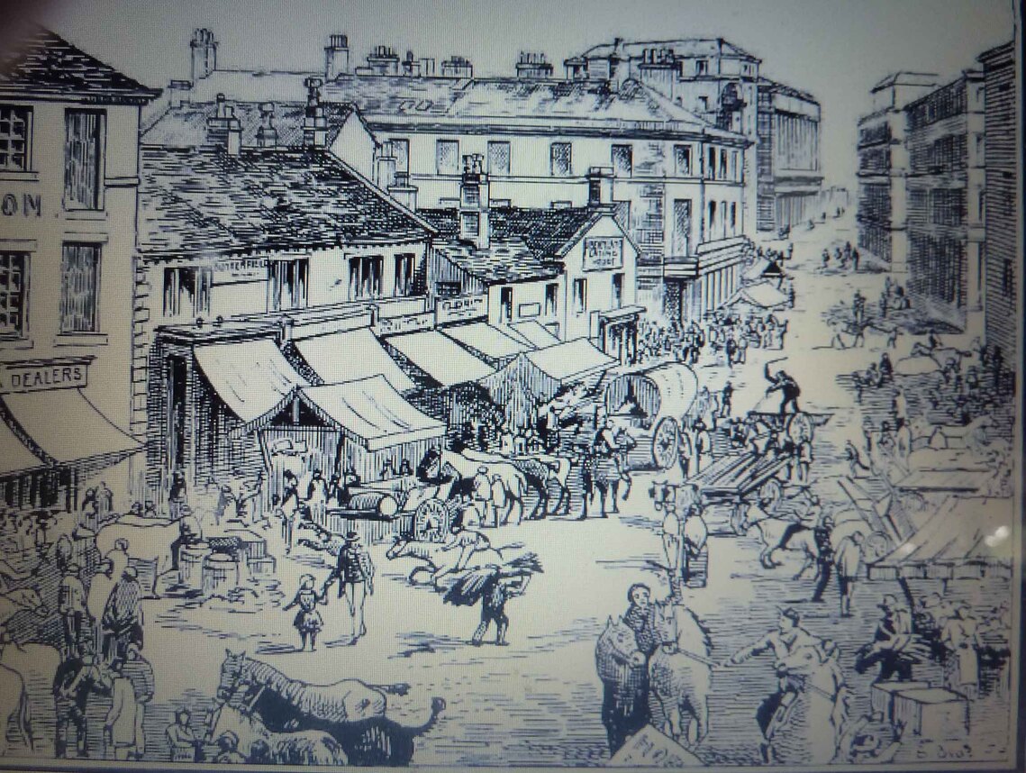
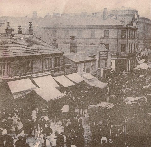
Butter Market Darley St c1825
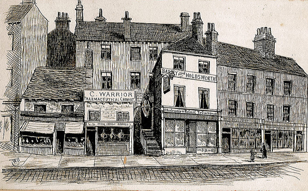
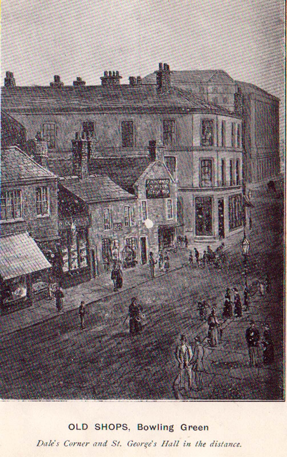
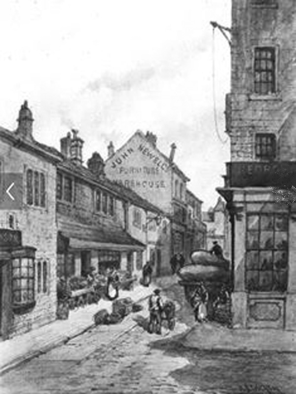
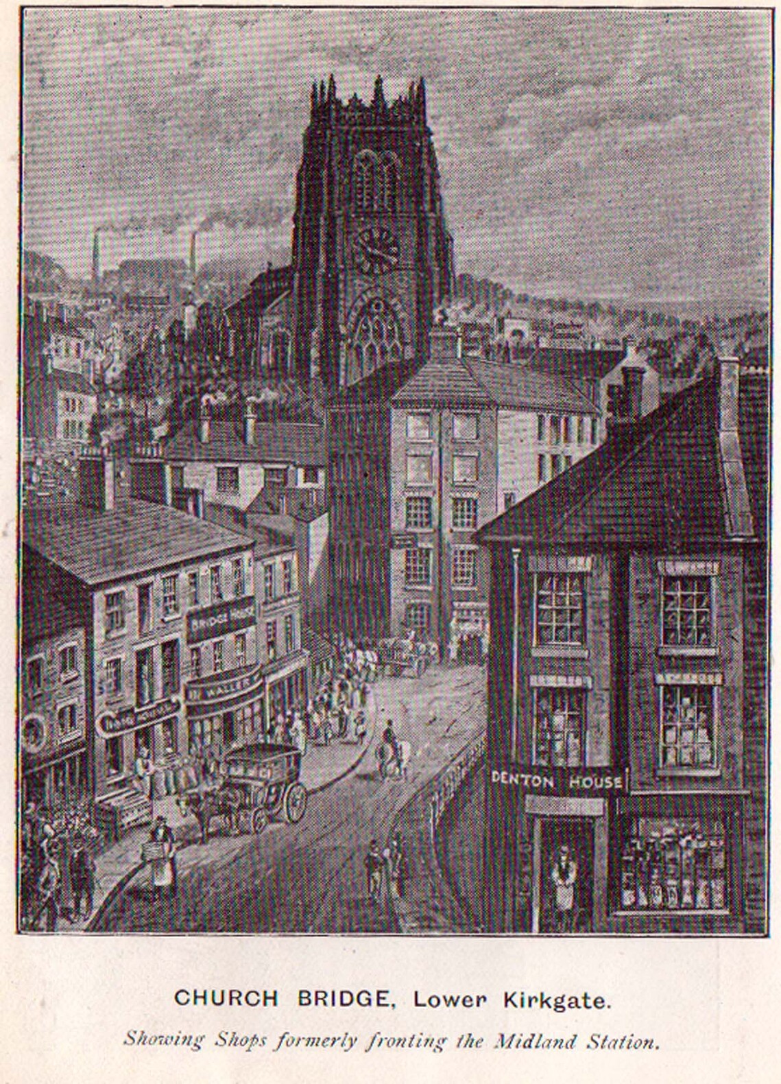
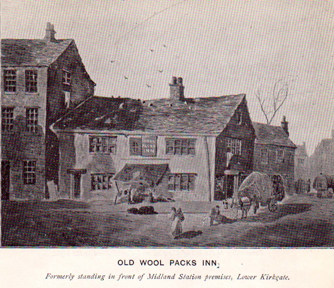
Shops in Lower Kirkgate 1825
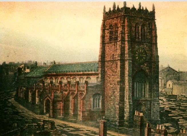
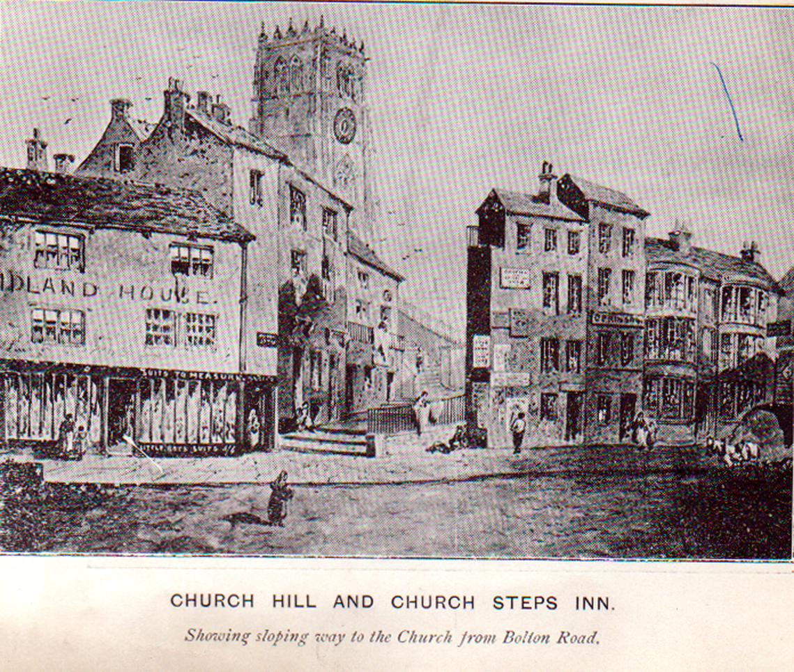
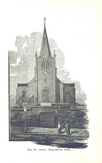
Bradford Parish Church
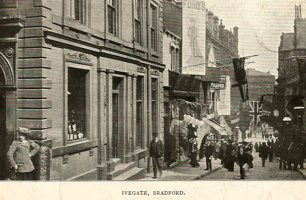
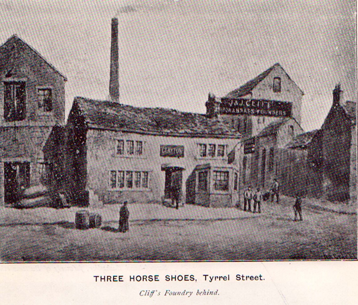
Tyrral Street
Bridge Street 1860
BROADSTONES
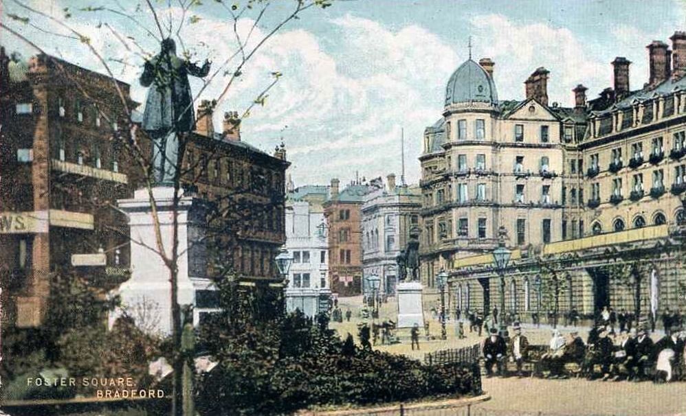
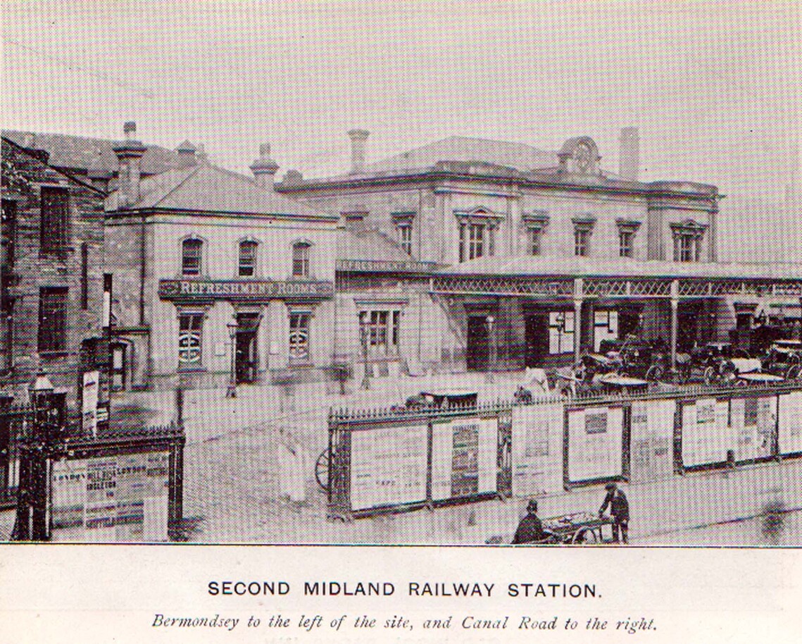
FORSTER SQUARE

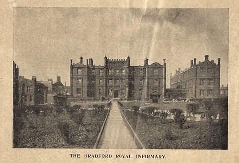
B R I Lumb Lane

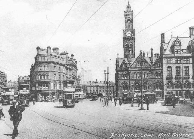
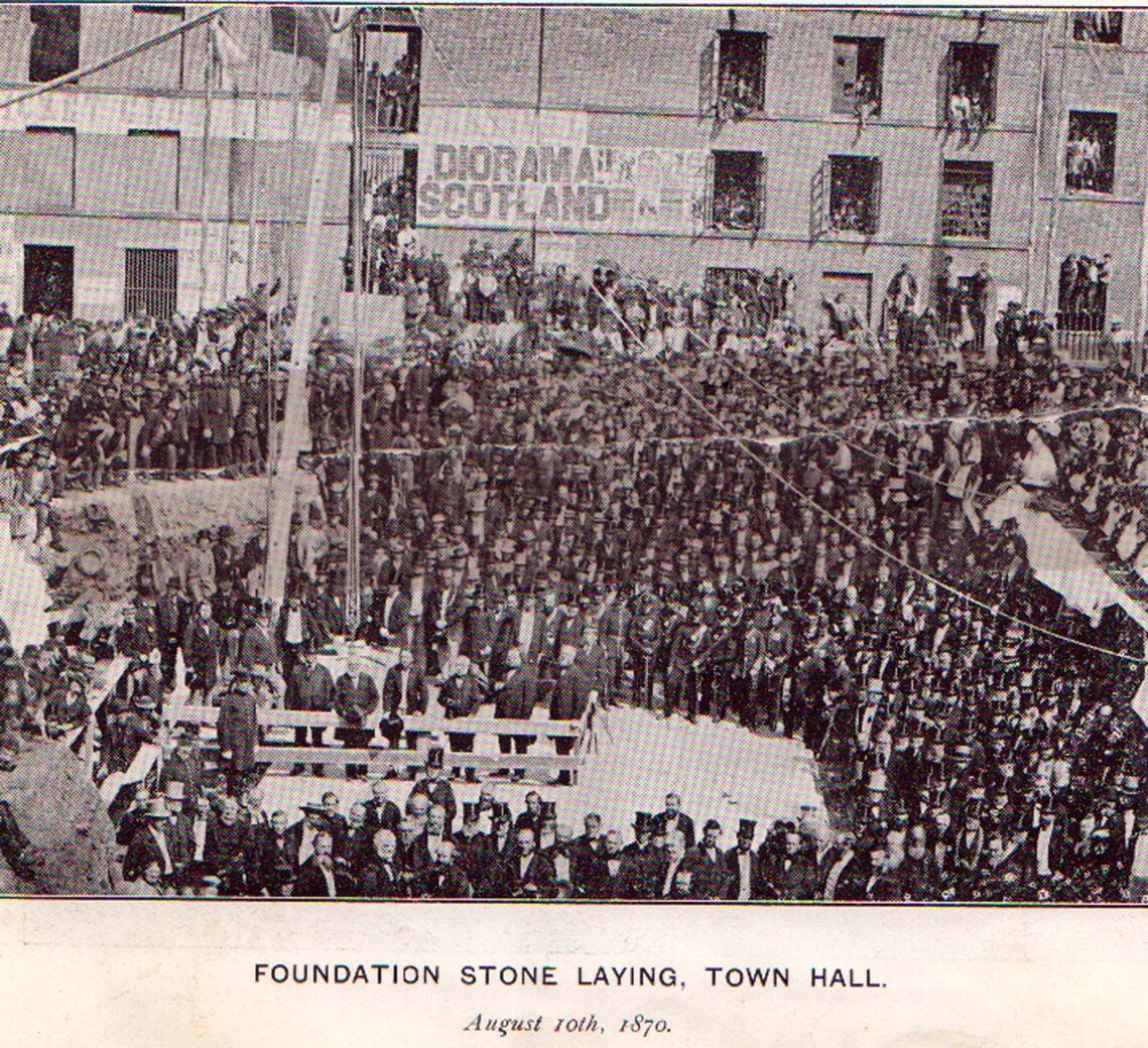
TOWN HALL SQUARE
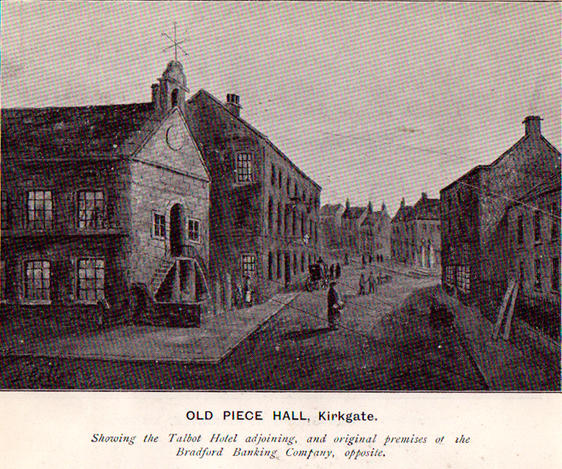

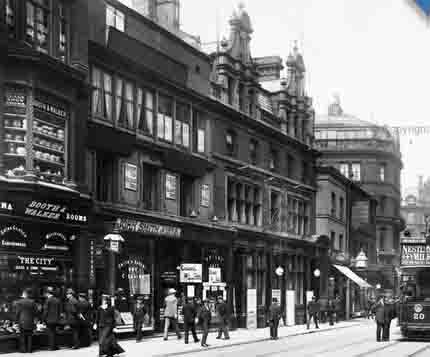
TALBOT HOTEL 1880
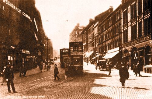
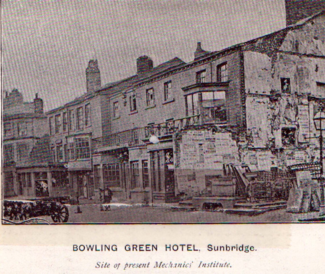
Sunbridge Road
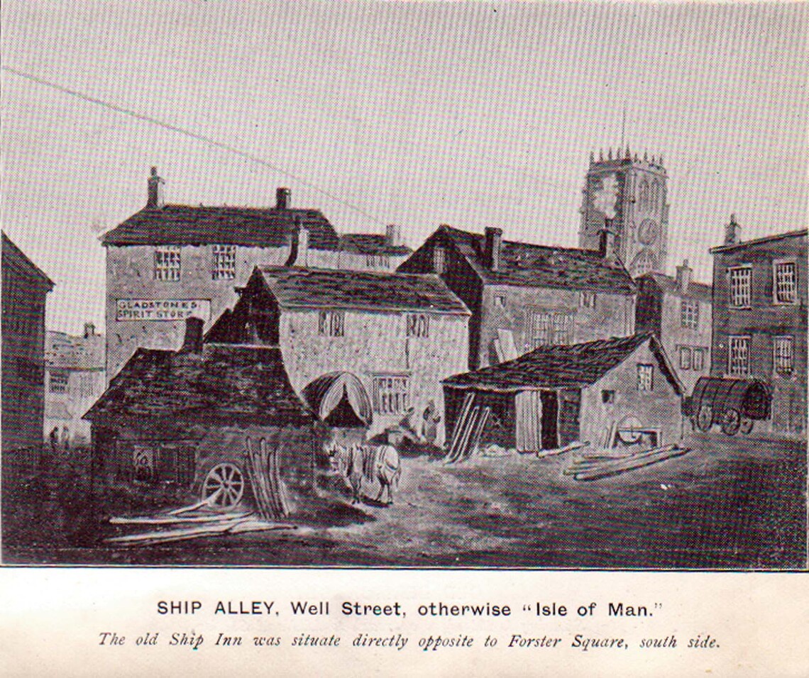

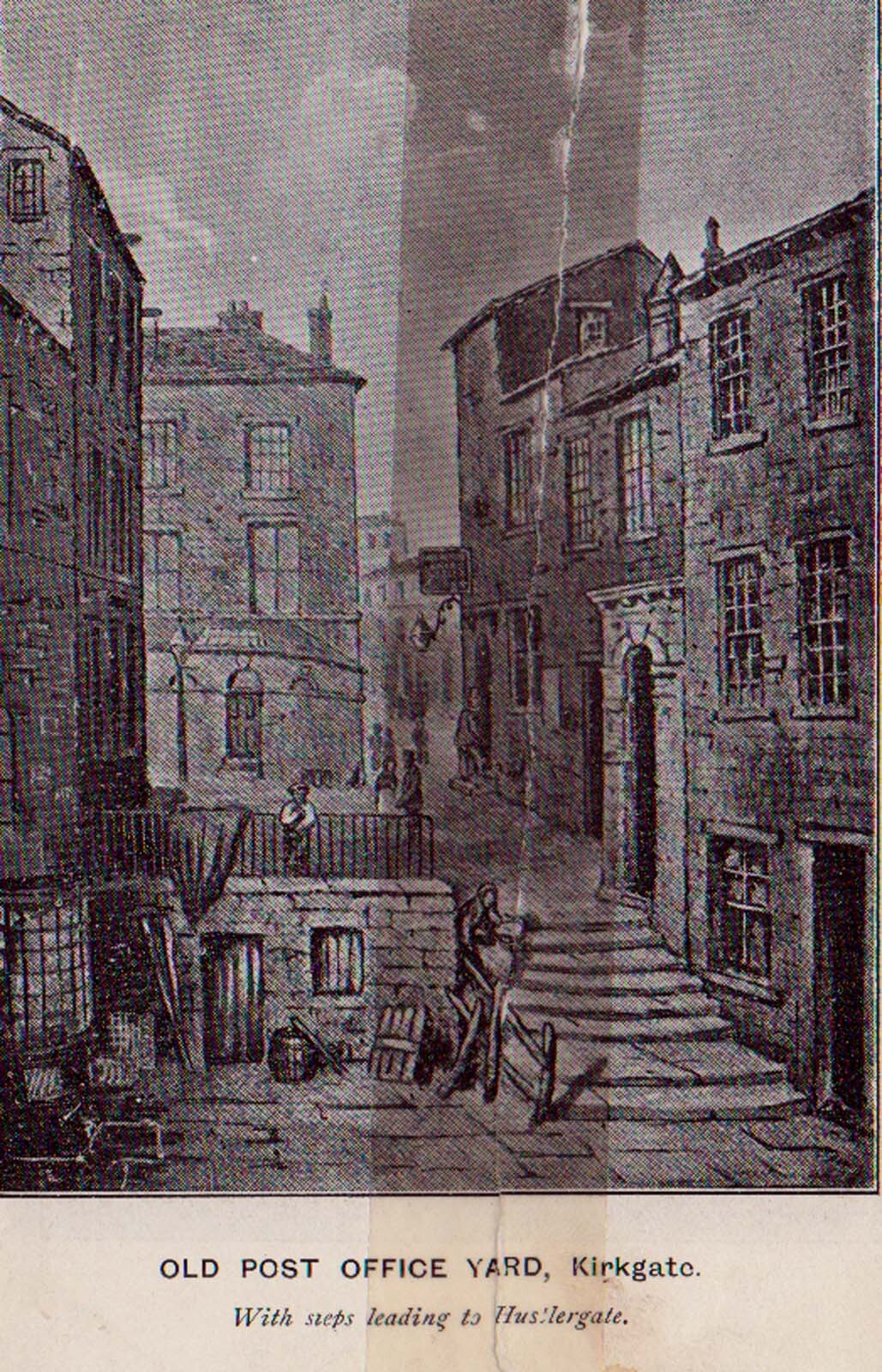
Or Piece Hall Yard