Checking for risk in the village
Overview
The postcode search of at risk properties lets you see the long term risk of flooding in your area. Awareness of flood risk is an important first step in reducing the impact that flooding can have on properties and lives.
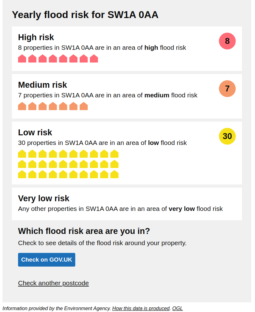
Users can enter a postcode and see the long term flood risk data for that area. The user will see how many properties in that postcode are in areas of high, medium and low risk. The number of properties in an area of very low flood risk isn't shown in the results.
Users can then get further information, including the flood risk for an area around a particular property, on the GOV.UK service Check your long term flood risk.
The data is for long term risk of flooding, not floods that are expected happen now or in the next 5 days. The risk is for the area around a property, not the property itself.
This tool is for postcodes in England only. For postcodes that cross the border with Wales or Scotland, only data related to properties in England are shown.
What the tool will look like
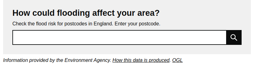
Find your flood risk
Click here to check if your property is at risk
Click here to prepare for flooding
How the data is produced
The tool shows data based on risk of flooding from:
- rivers and sea
- surface water
The data comes from the national flood risk assessment.
The tool shows how many properties in a postcode are in areas of high, medium and low risk. The number of properties in the postcode that are in an area of very low flood risk isn't shown in the results.
The tool shows the highest risk rating for the area around the property. For example, if an area is at high risk of flooding from rivers and sea, and low risk of flooding from surface water, the tool would show the area around the property to be high risk.
We also use flood alert data to check the risk of flooding from groundwater. Flood risk from groundwater is only shown if all properties in the postcode are in an area of very low flood risk from rivers, sea and surface water. Groundwater flooding is not included in the high, medium or low risk rating.