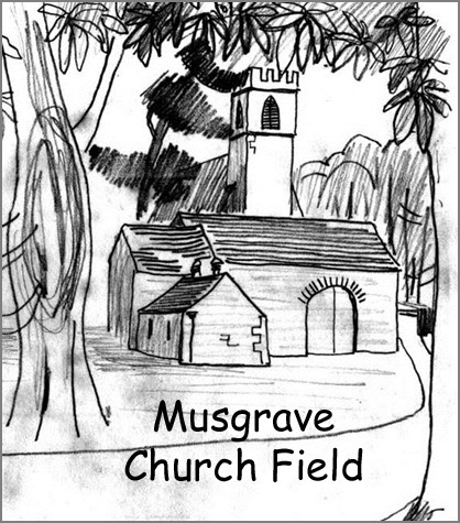
Earthwork Survey on Musgrave Church Field 2007
In March 2007, North Pennines Archaeology Ltd. undertook an earthwork survey of Musgrave Church Field, Great Musgrave, Cumbria, for Musgrave Church Field Trust. The work was funded by Natural England and corresponded to an English Heritage Level 3 survey, which comprised a metric earthwork survey, supported by background historical research.
Historic Ordnance Survey maps and an early tithe map of the site were consulted, along with a number of other pertinent primary and secondary documentary sources. These suggested that a rectory had been present at the site since at least the 13th century. The survey recorded the remains of an earthen dyke of medieval or post-medieval date, post-medieval field boundaries, and the earthwork remains of an 18th century rectory, including an orchard and gardens. The standing remains of a post-medieval stone outbuilding, and stone culvert were also recorded.
The well-preserved earthwork remains of St Theobald’s Rectory were recorded in plan and in profile. These comprised the remains of at least two buildings, and earthen banks forming the rectory enclosure. Banks and ditches enclosed the site of the former rectory orchard and gardens. All are likely to date to the 18th century. These were situated on the north side of an earthen dyke, which had previously been constructed along the north side of the River Eden as a flood defence.
The location of the earlier medieval rectory is unknown, although this may have been situated beneath the later buildings. Further information about the rectory, gardens and associated buildings could be gained through targeted archaeological excavation, which could be undertaken as an interesting community archaeology project.
Many thanks to Martin Railton and Matthew Town.
Download the Archaeological Survey 2007.
Geophysical Surveys on Musgrave Church Field 2014
On 4th and 5th September 2014 Wardell Armstrong Archaeology (WAA) undertook geophysical surveys of land at Musgrave Church Field, Great Musgrave, Cumbria, for Musgrave Church Field Trust. The geophysical surveys were conducted by volunteers under the supervision of WAA staff as part of a community project funded by the Heritage Lottery Fund (HLF).
Musgrave Church Field comprises 1.5ha of land immediately to the west of St Theobald’s Church, on the north bank of the River Eden, adjacent to Musgrave Bridge (centred on National Grid Reference NY 76641323). The survey site is c.300m to the south of the village of Great Musgrave, in the Parish of St Theobald, Musgrave, in the Eden Valley, Cumbria.
Musgrave Church Field contains a number of earthworks, which are believed to be the remains of an 18th century rectory, including an orchard and gardens. Given the archaeological interest of the site, the geophysical surveys were undertaken to provide further information on the possible presence/absence, nature and extent of potential archaeological features within the survey area.
Earth resistance and magnetic surveys were conducted, targeting the location of a former rectory and gardens. The geophysical surveys detected the rubble remains of the former rectory and outbuildings (demolished in 1884), and features associated with the associated garden enclosure. Some potential additional features were also detected including a possible enclosure boundary and tree throws. An earlier alignment of the drive crossing Musgrave Church Field was detected to the north of the existing road. Agricultural features were also detected within the field, including possible land drains/ditches, and possible evidence for former cultivation ridges.
The results of the geophysical survey thus enhanced the findings of the previous survey in 2007, and suggest that the remains of the rectory and enclosure survive sub-surface. Given the substantial nature of the rubble deposits at the site, detailed mapping out of foundations was not possible using geophysical survey. However, further information on the form and development of the buildings could be achieved through the excavation of a number of targeted archaeological trial trenches at the site.
Many thanks to Martin Railton of Wardell Armstrong, and the local volunteers: Jen Callis, Liz Cook, Elisabeth Hodgson, Geoffrey Kramer, Mike Lea, Maureen and Mike Moore, Ian Murray and Stephen Walker.
Download the full report Geophysical Surveys 2014 or the Musgrave Survey Map and Interpretation.


