Please remember when walking on public footpaths through fields with livestock your dog MUST be under close control and on a lead. This is particularly important during the lambing season.
Turners Spring Nature Reserve (40 mins. from Burton End)
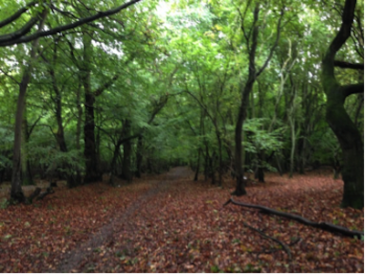
Around Alsa Wood (45 mins.)
Across the border into Henham (under an hour)
Around Ugley Green (1 hour from Linnets Wood)
Elsenham Post Office to Tye Green (1 hour or more)
Elsenham Fun Run route (1 hour 5 mins.)
Around Elsenham Golf Course (1 hour 15 mins.)
Fields, Tracks and Tunnels (1 hour 30 mins.)
Burton End and back (2 hours 30 mins.)
Stansted Village circular route (1 hour 45 mins.)
ELSENHAM WALKS – A PREAMBLE
In its early days (last century) Elsenham News published a series of walks using the local rights of way, mostly starting from a point in Elsenham. The pioneering walkers were Lyn Segar and David Verlander (David also drew the maps). Sometime in 2010 copies of the originals surfaced and it was thought it would be a good idea to update and re-publish them after an interval of nearly 30 years. This took rather longer than anticipated because so much had changed. We haven’t (as yet) got a second runway at the airport but we do have the M11 and two new railway spurs connecting mainline tracks with the airport. Equally, we have more trains on the mainline and they are much faster and quieter which has made the use of rights of way that cross the line a lot less inviting.
So here at last are the series of revised routes, one or two dropped, one or two new added. Thanks to the volunteers who walked the routes to see if they worked and the team at EROWOS (Elsenham Rights of Way and Open Spaces, a sub-committee of the Parish Council) for their input.
All these suggested walks link with other rights of way so, if you wish, you can soon devise your own routes to suit yourself and the season. You will also notice that they take you to ‘foreign parts’ i.e. Henham, Ugley and Stansted. This is inevitable given our geography.
You will also become familiar with which paths can become very muddy and when it’s best to have a stick with you to bash down nettles.
Taking binoculars can help with identifying birds and distant mammals and if you want to improve your knowledge of wild flowers either take a flower book with you or photograph specimens for later identification.
If you have dogs with you, please keep them under close control i.e. trained so that they respond readily to your commands or kept on a lead; this applies particularly when you walk through fields with livestock in them.
Take litter (and dog poo) home with you or wait till you find a litter bin.
Protect animals and plants (with the possible exception of nettles) and leave gates and property as you find them.
If you can, have with you an Ordnance Survey map that marks public rights of way so you gradually become familiar with the countryside around you.
Should you come across real problems, e.g. a blockage or temporary closure, please let someone know.
Footpath numbers can be obtained by pinpointing on the interactive map available at:
Please inform Essex County Council (ECC) Highways:
http://www.essexhighways.org/transport-and-roads/tell-us/tell-us-PRSD-public-right-of-way.aspx
giving as much detail of the problem and its whereabouts as possible. Please then forward the error report number to EROWOS (erowos@btopenworld.com) so that we can monitor problems.
Anyway, it can be great to be out in the countryside on a fine sunny day so the team at EROWOS hopes you will use these guides to do so and enjoy yourself.
We suggest you access (or print) the walk when you plan to use it as the routes will be updated as necessary.
Turners Spring Nature Reserve (40 mins. from Burton End)
Around Alsa Wood (45 mins.)
Across the border into Henham (under an hour)
Around Ugley Green (1 hour from Linnets Wood)
Elsenham Post Office to Tye Green (1 hour or more)
Elsenham Fun Run route (1 hour 5 mins.)
Around Elsenham Golf Course (1 hour 15 mins.)
Fields, Tracks and Tunnels (1 hour 30 mins.)
Burton End and back (2 hours 30 mins.)
Stansted Village circular route (1 hour 45 mins.)
Updated 29th December 2017