This walk will take about 2½ hours, or longer if you stop off at The Ash. There are three patches where mud rarely dries out completely, so be prepared.
Start at the Post Office and walk along Stansted Road to the end of Gilbey Cottages. Turn left at the footpath sign and walk south along the edge of the field.
After leaving the field turn right and follow the road. When the private drive turns left, follow the footpath to the right. Continue along the footpath and then under the motorway.
Stay on the path walking parallel to the railway line, and go left through the tunnel underneath the line. As you leave the tunnel do not turn right — stay on the path and up the hill and follow the path back under the motorway.
Continue through the gate and straight along the bridleway. At the junction with a footpath turn right (staying on the bridleway), through another gate where you can expect mud.
Follow the path alongside the hedge until you reach the junction. Turn right towards the mobile phone mast, then follow the path along the hedge, turning left towards the bridge over the railway line.
Cross the bridge and turn right and follow the footpath down the hill towards The Bourne. (It may well be very muddy here.)
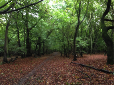
Follow the path across the stream and turn left at the signed footpath up the hill (it looks daunting but it's only 50 paces and flat thereafter).
At the top of the hill turn left and follow the line of the path eastwards along the field edge overlooking The Bourne valley for about 350 metres. Look out for the waymarker where the path continues down a steep bank. Follow the footpath down this bank and walk through the wooded area for about 30 metres to the field.
Turn right and continue for 50 metres and then go through a 5 bar gate at the corner of the field.
Here you can either go southwards along the footpath along the eastern edge of Turner's Spring Nature Reserve or take the courtesy path uphill through the Reserve, as both paths eventually rejoin the footpath.
As you emerge from the Reserve, continue southward on the footpath, on the right of the hedge, bearing left and then turning right at the cottage with blue barge-boards, reaching the road at Burton End.
Turn left here and walk through the hamlet until you reach The Ash. About 70 metres past The Ash, immediately after The Nook, follow the well-hidden footpath sign to the left and through the gate.
Walk straight down the farm yard, now used for other purposes. At the end turn left and immediately right, and look out for the waymarker taking you across a small bridge and over a stile.
The footpath now goes straight across the field to a gap in the hedge. However, this footpath is rarely maintained, and you might prefer to turn left and walk along the headland, then turn right and continue down the headland with the hedge on your right.
Regardless of the route, you next need to follow the track across the uncultivated area and make for the right hand end of the wire fence opposite and then continue around to the left over the railway as it enters the tunnel, until you get to the concrete road.
Go down the road and turn right immediately before the first hedge.
The path might not be delineated across the next two fields. It goes across the first field, a distance of about 30 metres - it does not go to the large gap ahead of you, but to a smaller gap half-right ahead.
The path then goes across the next field to the waymarker about 100 metres away. You now keep right and then left along the edge of Barley Common until you reach Tye Green Road, where you turn right.
At Tye Green turn left at the triangle. Walk along the roadway across the Green (Tye Green Farm house will be on your left).
Continue along the road passing the pond on your right, and continue on the byway, turning left at the fingerpost.
Follow the byway, right, left, right and then across an open stretch, until you reach the junction with a footpath.
Turn left along the footpath and walk alongside the stream.
As you reach the end of this path expect more mud and turn right over the bridge, and then keep half left over to the other side of the hedge.
Walk north along the path with the hedge on your right, crossing 2 stiles and arriving at Fullers End. Turn left. After 100 metres turn right and follow the road through Fullers End, over the railway crossing and then up Robin Hood Road back to the Post Office.
