Longridge Blue Plaques, Monuments & Memorials
In the early years of the new millennium, the Longridge Heritage Committee proposed that blue plaques be installed on buildings and structures that were of significant and historic importance to the town. Longridge Town Council pledged a sum to pay for initial artwork and additional funding was provided by Lancashire County Council.
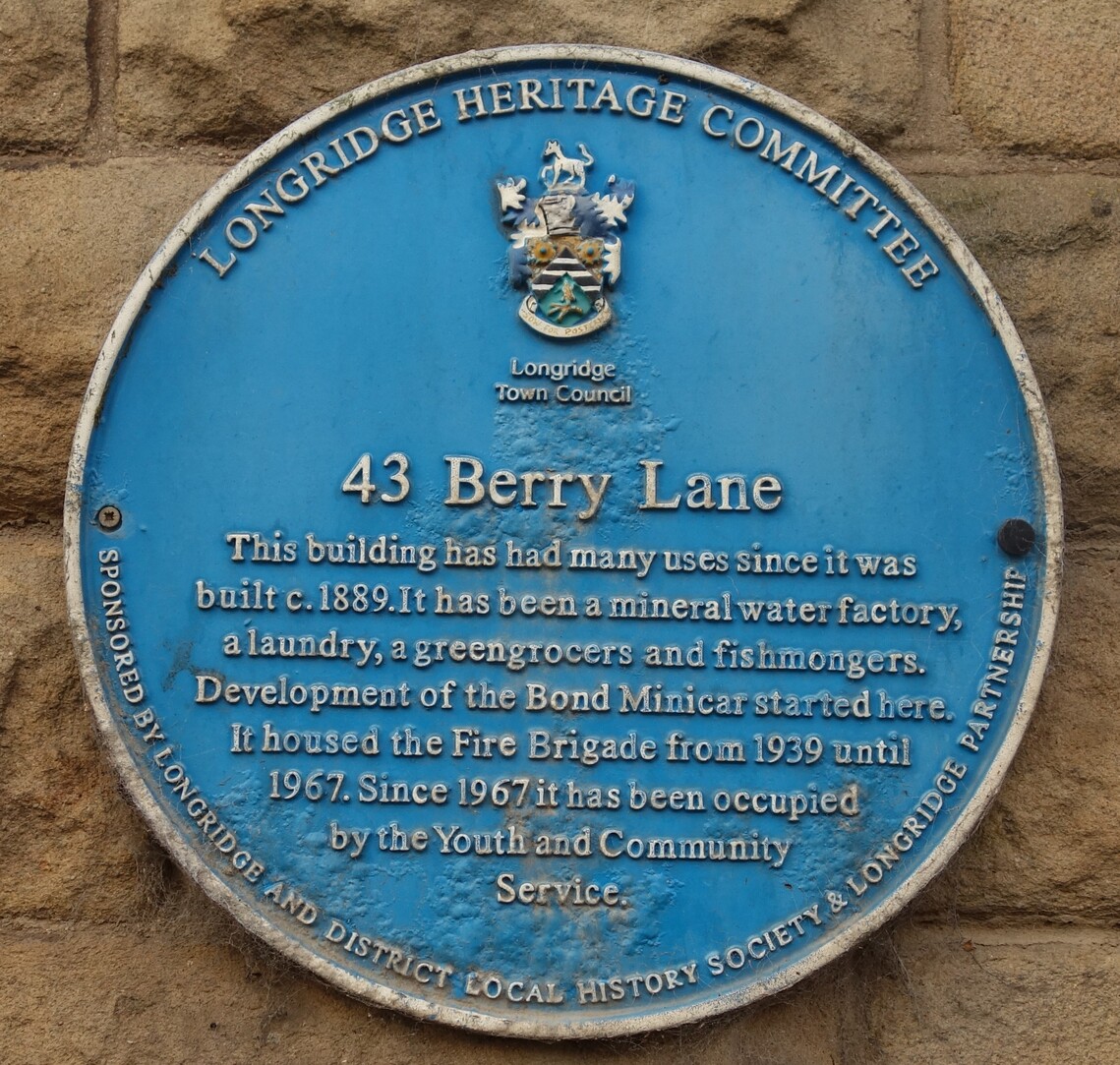
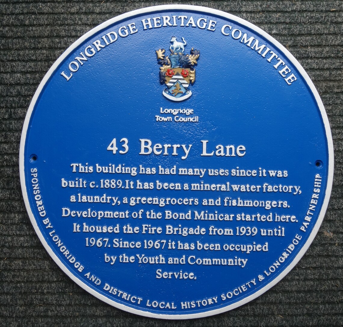
The first blue plaque was unveiled on a building originally known as The Quarryman’s Arms in September 2006. Six other plaques were created for the Co-operative Building, Club Row, 43 Berry Lane, the former Methodist Church in Berry Lane, The Towneley Arms and Newtown. These plaques were sponsored by Longridge & District Local History Society and The Longridge Partnership.
In March 2007, Longridge Town Council agreed in principle to fund a plaque for the Old Station Buildings. This and a further seven blue plaques were sponsored by Longridge & District Local History Society and Ribble Valley Borough Council.
By early 2023 it was felt that the plaques were in need of renovation. Longridge & District Local History Society arranged for all the plaques to be removed and sent for sand blasting. The blue background colour was reapplied by powder coating and the lettering, edging and town crest were carefully painted by a group of volunteers. An example is shown below.
The restored plaques were reinstalled at the same locations or close by.
The renovation of the blue plaques was funded by Longridge & District Local History Society with donations from Longridge Heritage Centre Trust, Longridge Teaching Centre, St Wilfrid’s RC Church and William Houghton Funeral Directors.
A link to the Longridge History Society website showing all the Plaques is below
Blue Plaques before and after refurbishment - Longridge History Society (e-voice.org.uk)
There are further monuments, including the Millenium Stone on Berry Lane, War memorials on Berry Lane, St. Wilfrid's Church and the Recreation ground along with historic markers at Southern Close and Chapel Brow.
A full list is shown below and a leaflet is available (price £1) from the Centre, showing a walking route which covers all the plaques and memorials.
Blue Plaques
Market Place - Palace Cinema, Market Place
Longridge Methodist Church - Berry Lane, across from Library
Co-operative Building - Barclay Road off Berry Lane
The Old Station Buildings - Old Station Cafe off Berry Lane
The Towneley Arms c.1849 (41 Berry Lane)
Old Fire Station, now a Youth Club (43 Berry Lane)
Crampoaks Mill - Booths Grocery shop, Berry Lane
St Wifrid's R.C. Church - St Wilfrid's Terrace, off Derby Rd.
Stone Bridge (The Bridge Café)
Newtown / Doctors Row (79 Preston Road)
St Lawrence’s Church (Lower Lane, in lychgate)
Fell End - Old Grammar School
Club Row (38 Higher Road)
The Quarryman’s Arms (104 Higher Road)
Longridge Quarries (Beacon Fell View Holiday Park Reception)
Railways & Quarries (Top of John Smiths Park, next to play area)
Monuments & Memorials
Centenary Fields Memorial Stone - Drivers Walk
Henry Driver Stone and Plaque - Drivers Walk
Longridge War Memorial - Berry Lane, for both World Wars
Millennium Stone Cross - Berry Lane
St Wilfrid’s War Memorial - St Wilfrid’s Church, Derby Road
Newtown Red Plaque (Southern Close bus stop)
Water Pump (Southern Close formerly Pump Street)
St Lawrence School Stone (Chapel Brow)
Other
Orienteering Course (Top of John Smiths Park, off Chaigley Road)


