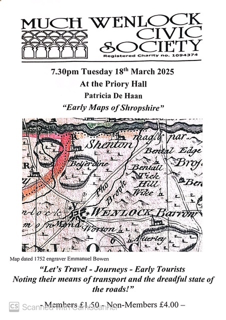
Patricia de Haan - Further Early Maps of Shropshire
Tuesday 18 March 2025
19:30 to 21:00

Attached is a detail of a map engraved by Emmanuel Bowen in 1752, showing the roads out of Much Wenlock and the all-important river crossing at Buildwas. This should reproduce well on a poster.
As the sub-title to the talk suggests, as soon as roads appeared on early maps people began to travel. We’ll follow their journey, noting the means of transport and the dreadful roads, and see that increasingly detailed and useful maps meant that we became not simply travellers but tourists.
A bit about me…..I’m a Shropshire Lass and bought my first map of the County at a jumble sale in Dawley in the early 1950s. I was ‘hooked’ and have continued to collect ever since. Much of my collection, that part dealing with the Industrial Revolution, is now in the care of the Ironbridge Gorge Museum Trust and some older maps I deposited in the County Archive. Here, in this talk, I can share some early maps with you and travel again along the roads of Shropshire.
Just a note to say that we are looking forward to being with you again on the 18th for the second of my Early Maps of Shropshire talks. This one has the sub-title of "Let's travel..". How the time has flown!
| Cost | £1.50 for MWCS Members £4.00 for non-members - to be donated to Severn Hospice |
|---|
